


|
La Via del Sale
|
|
|
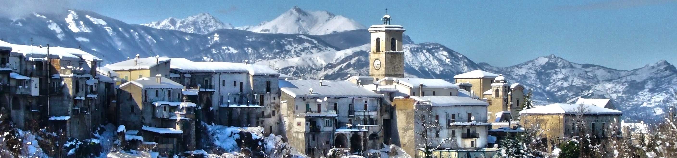
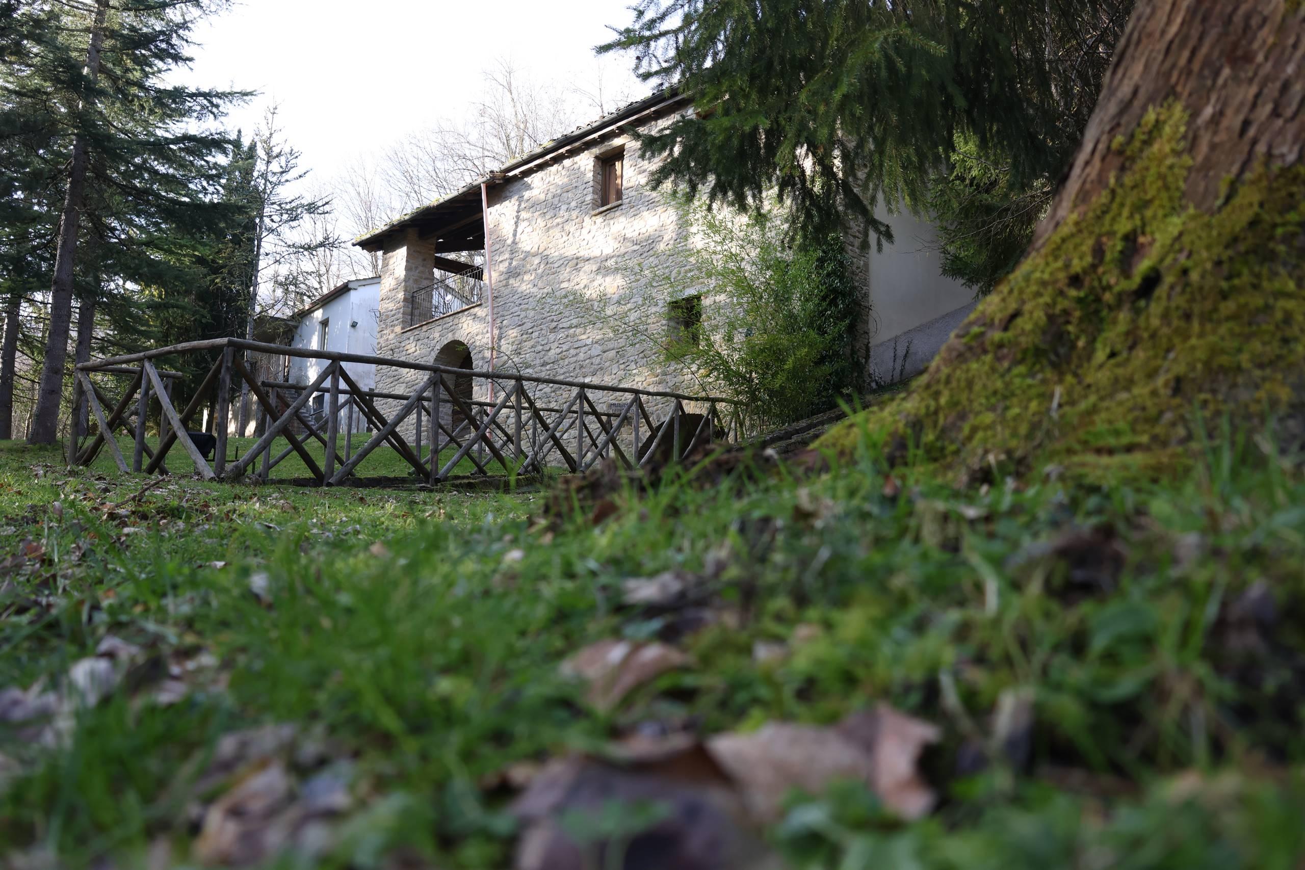
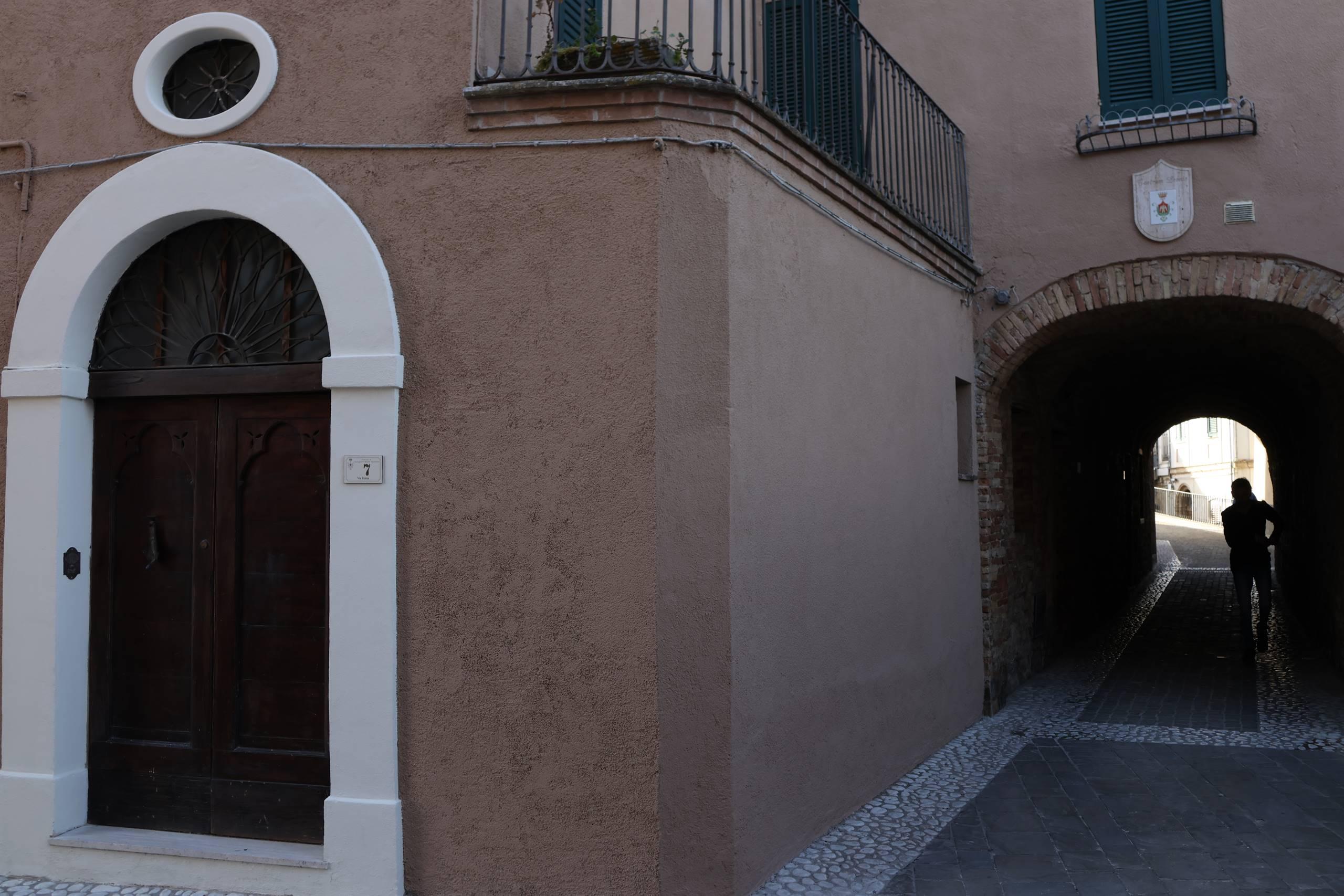
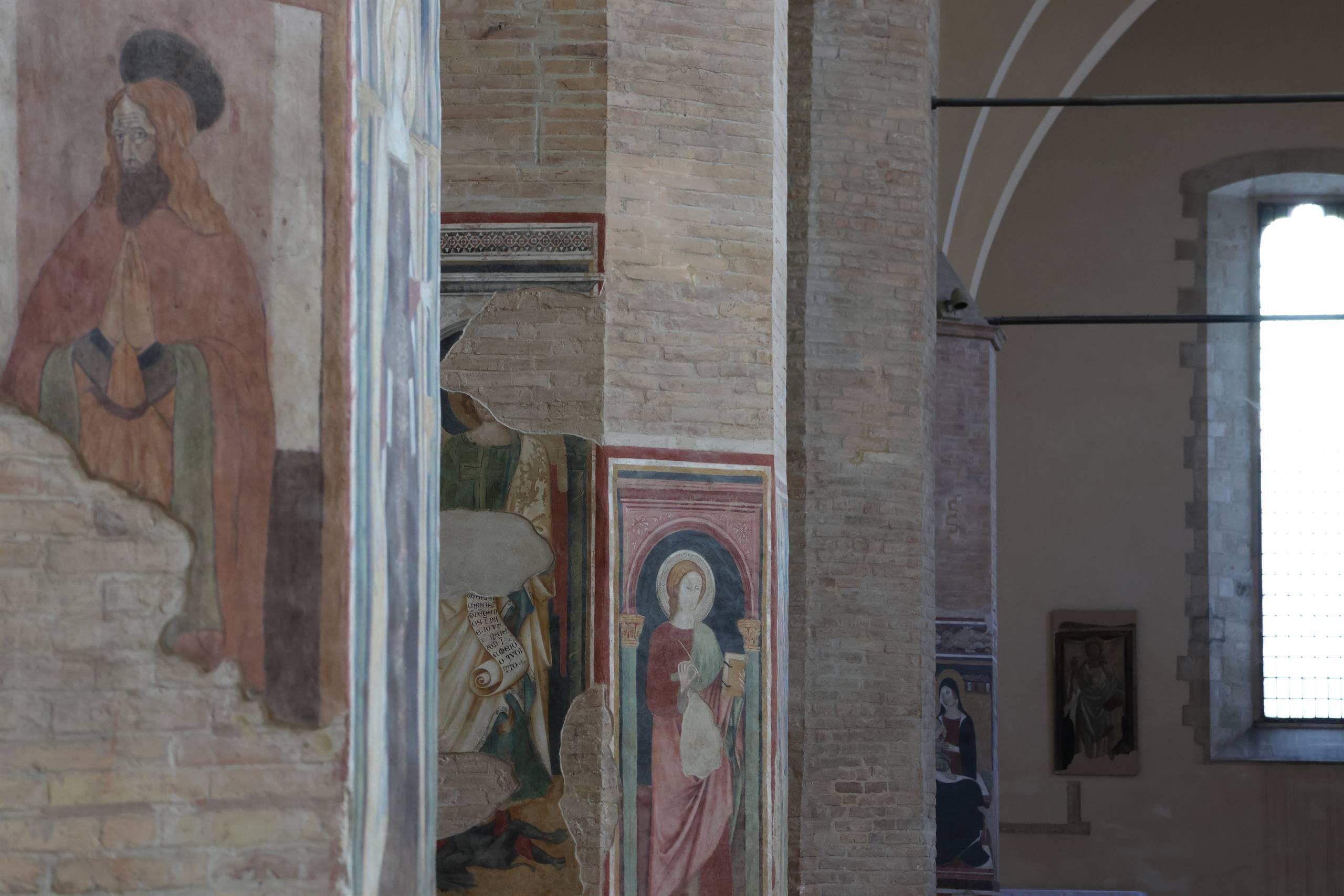
Penne
C.da Collalto, 1 - Tel. +390858278444 - E-mail: info@wolftour.it (view on map)
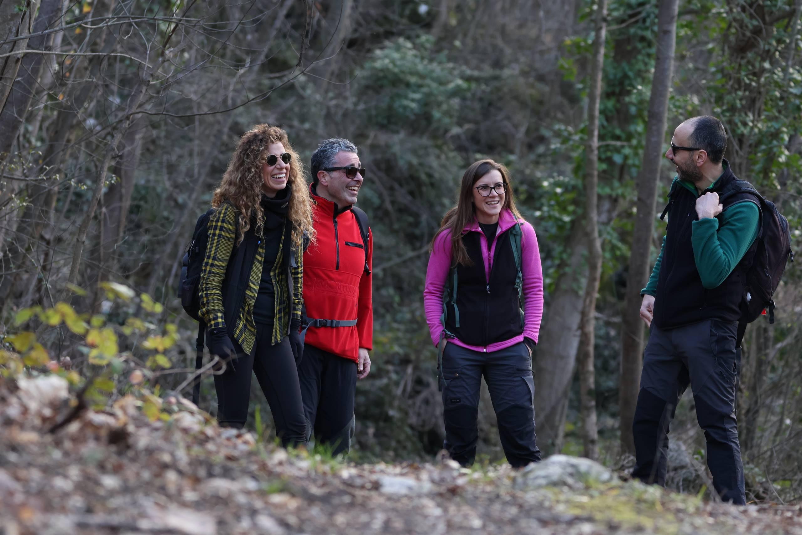
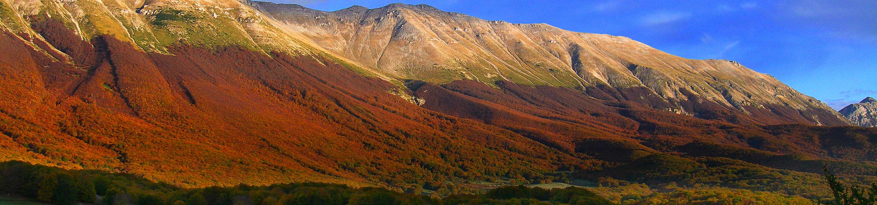
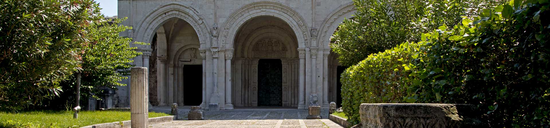
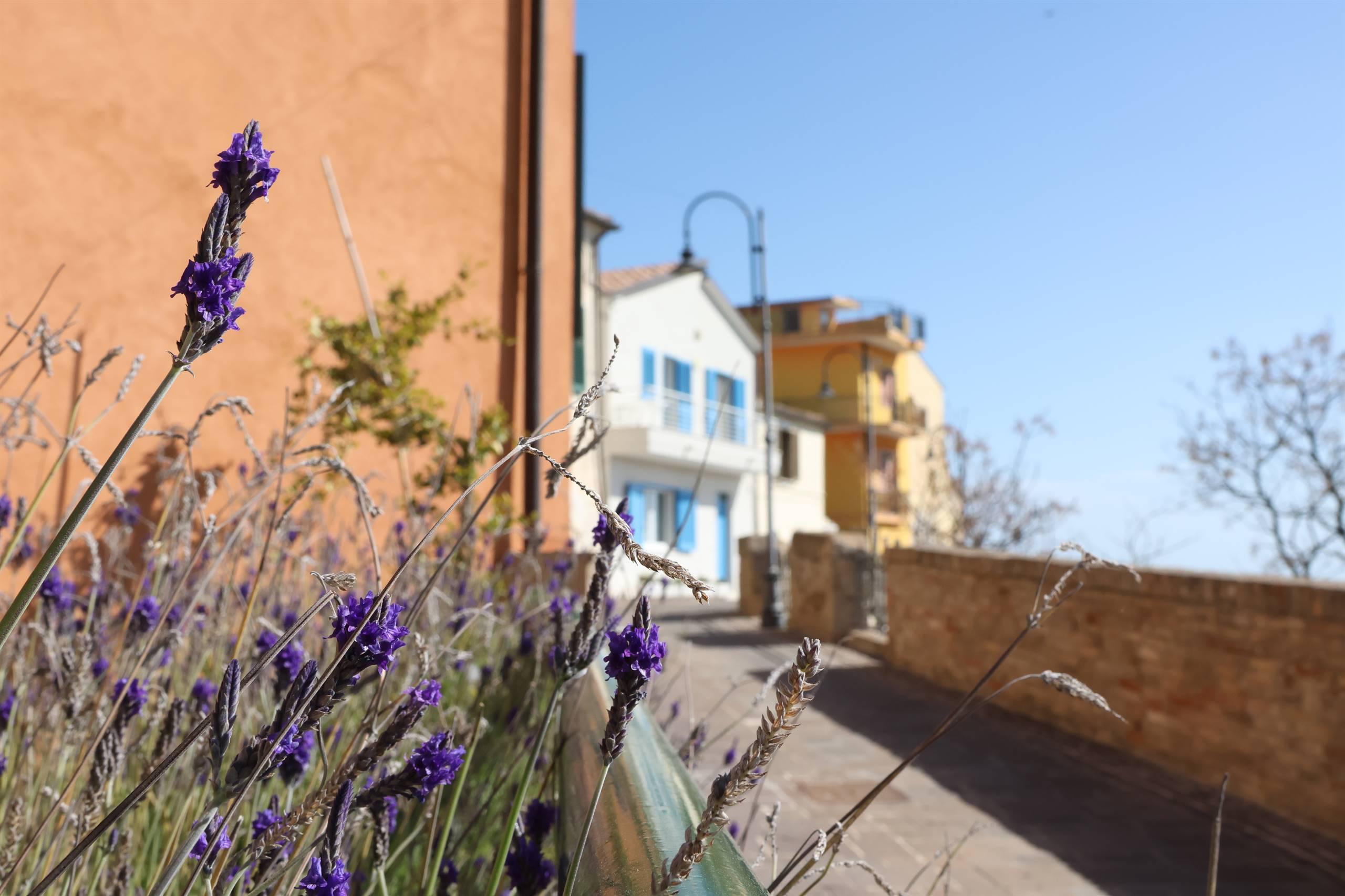
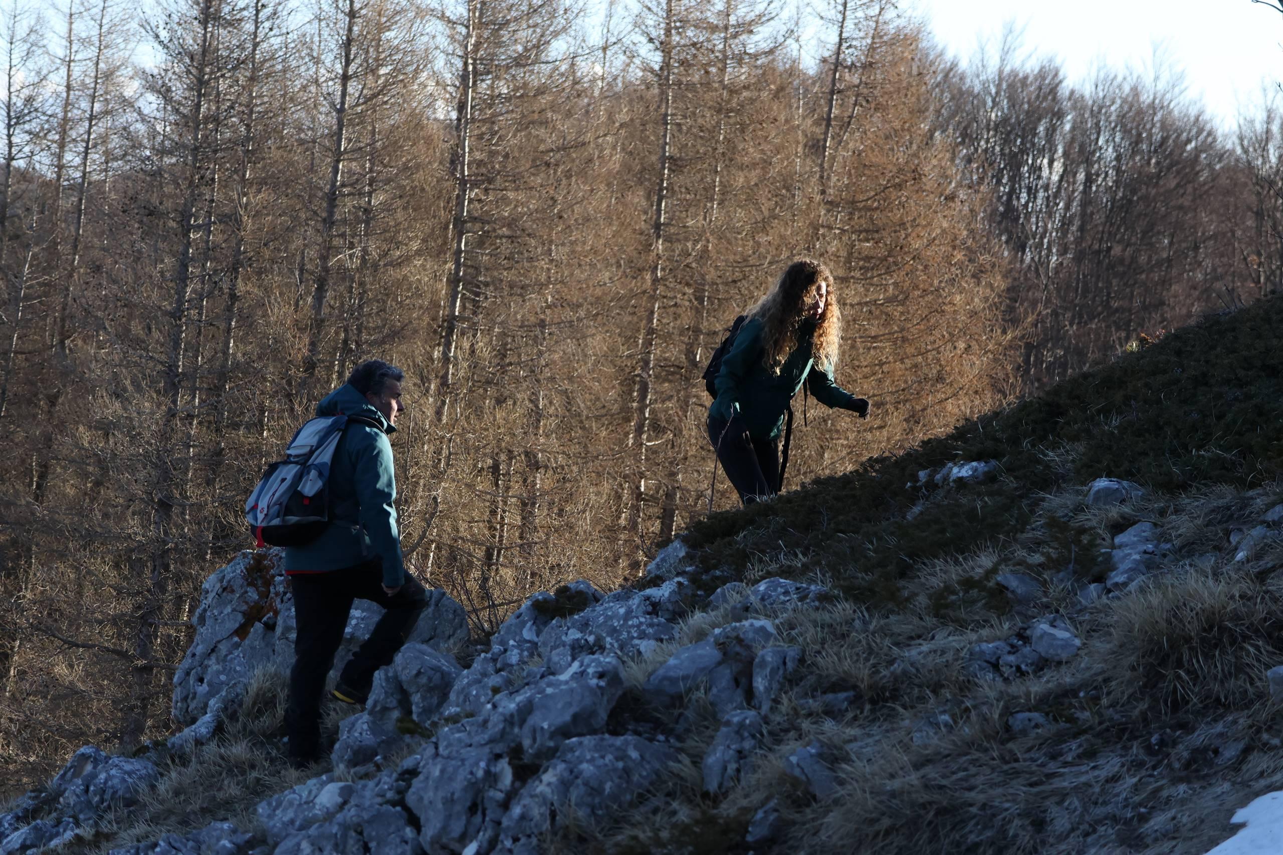
THE "SALT ROAD" or SALT ROADSThe characteristics of salt, necessary for the daily life and survival of individuals and families, generated real markets especially in those highland and/or mountain locations where the good was not directly available.
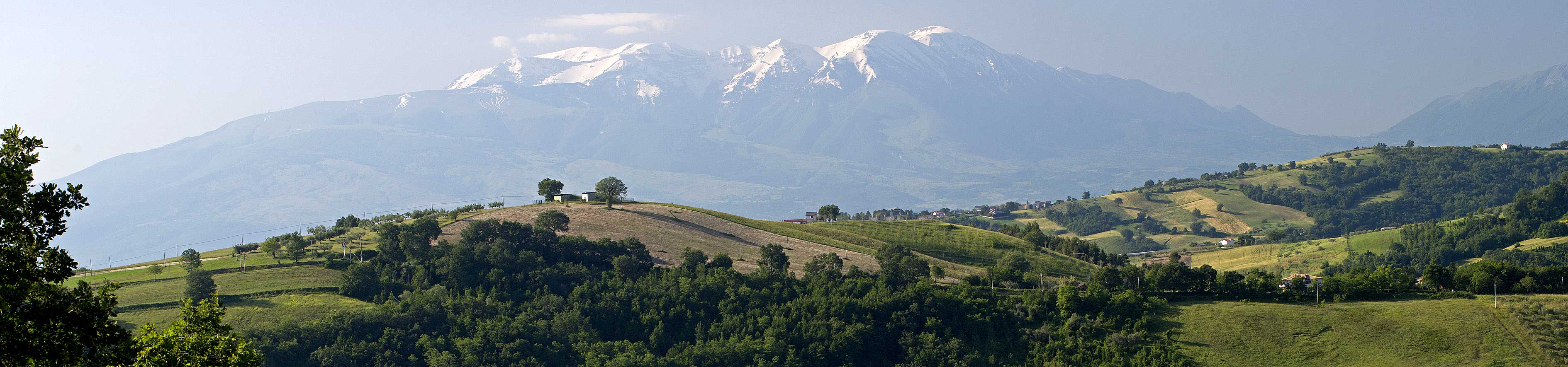
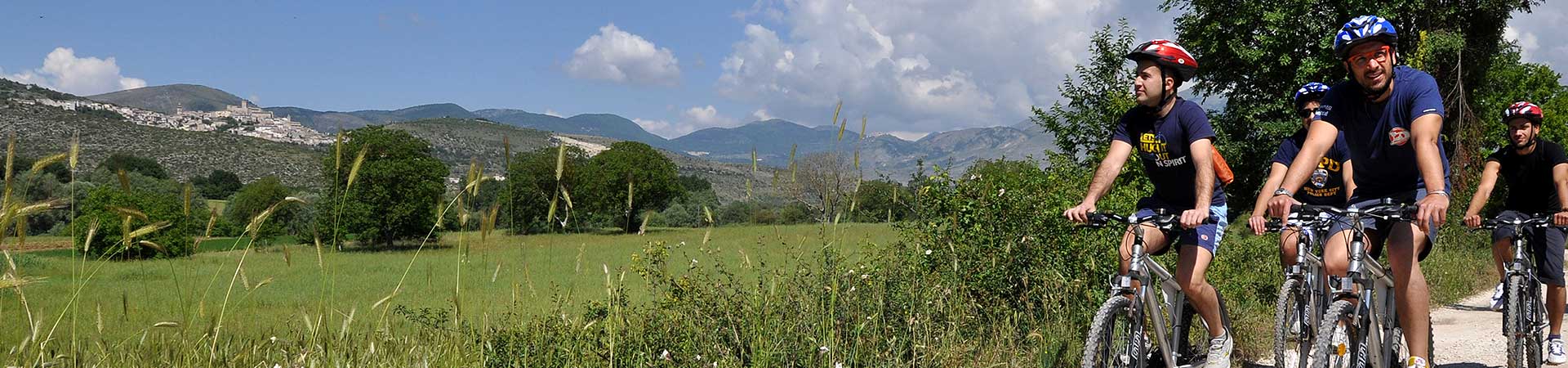
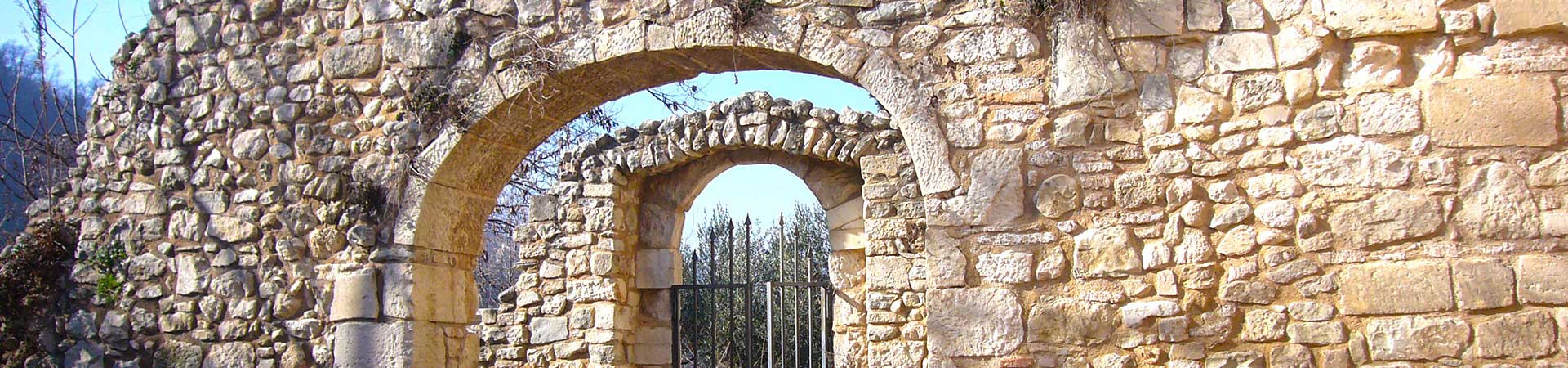
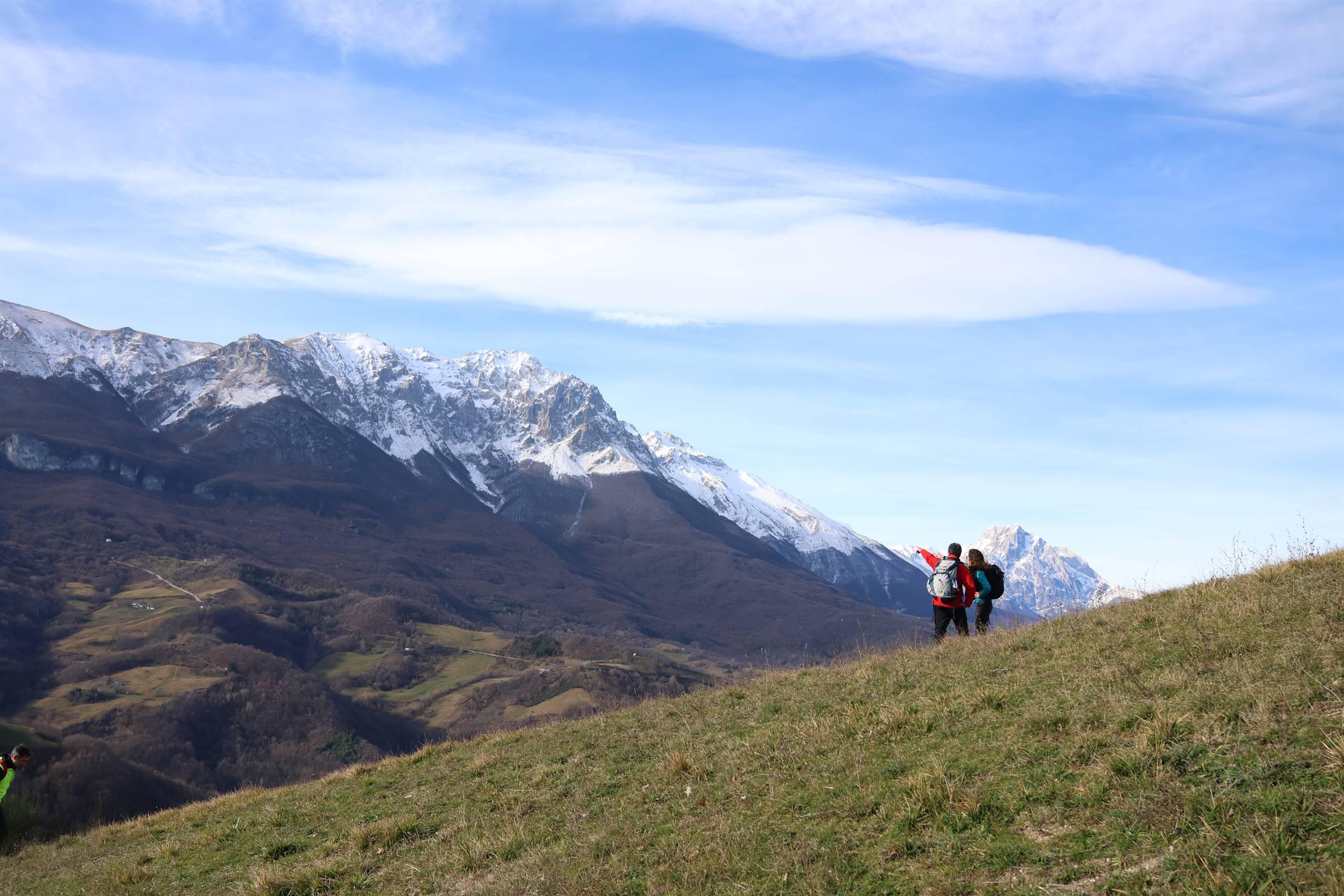
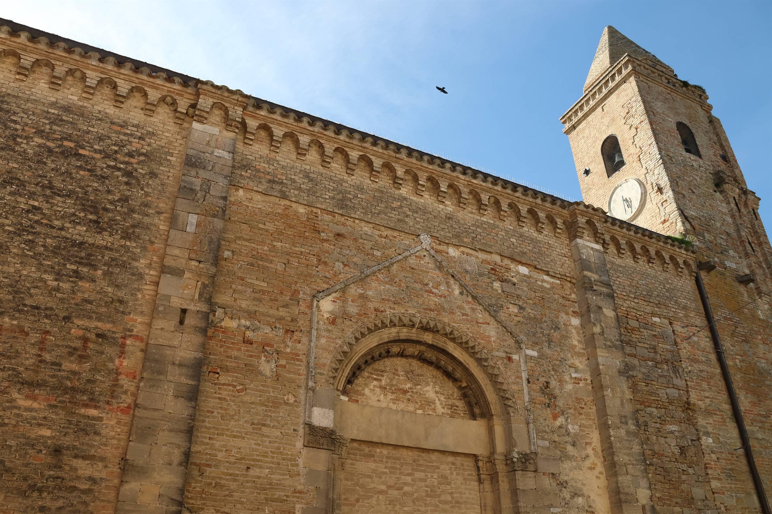
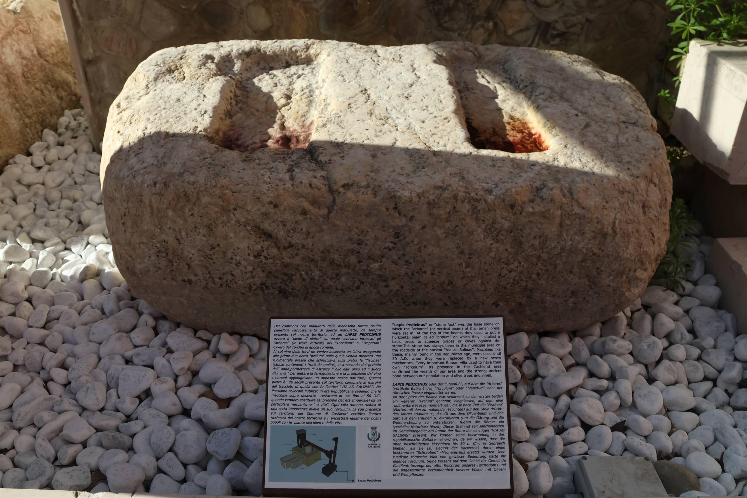
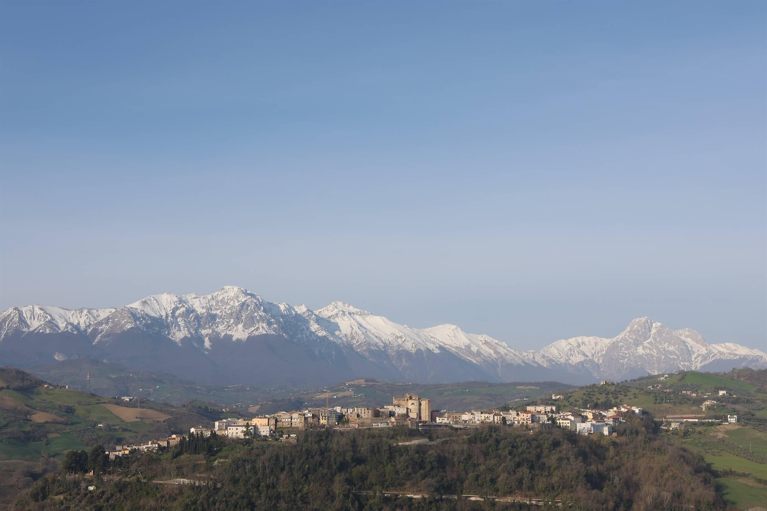
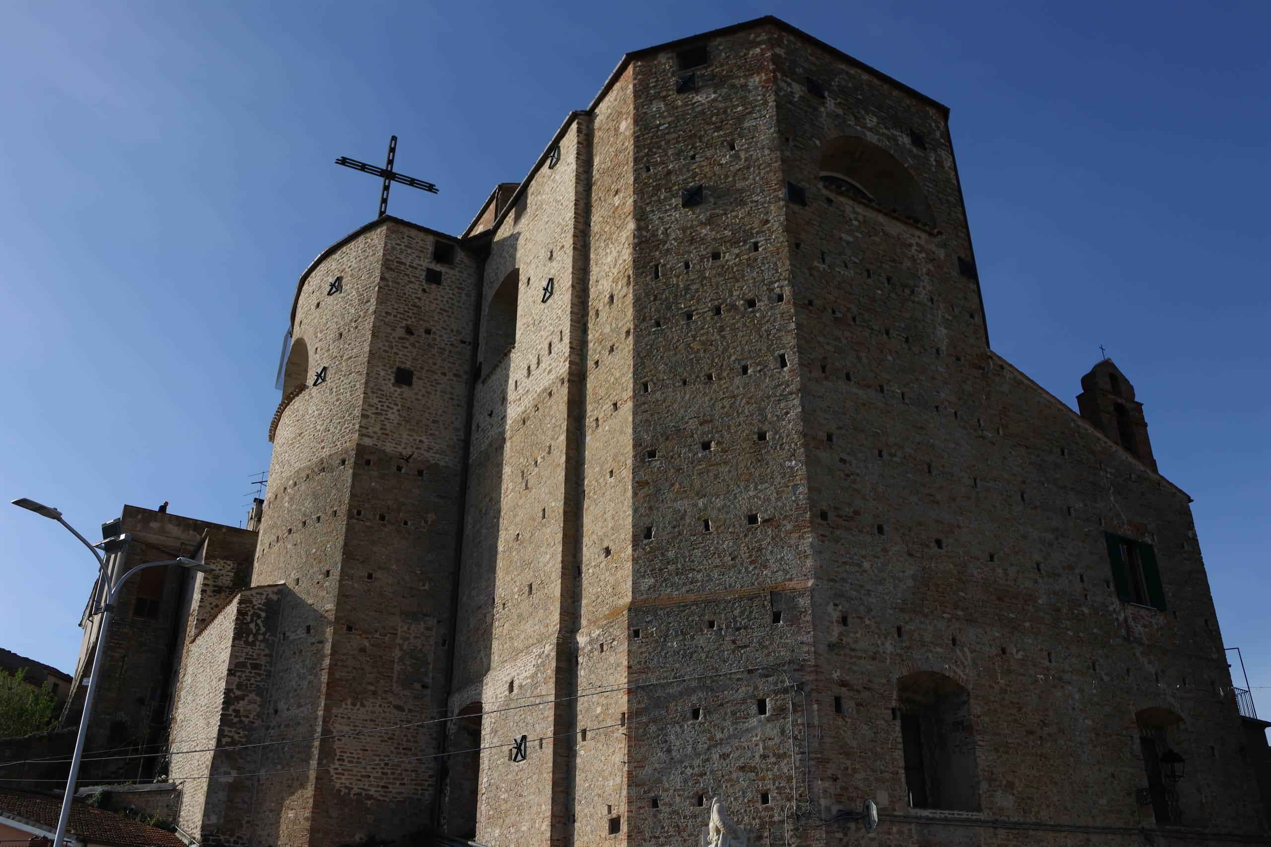
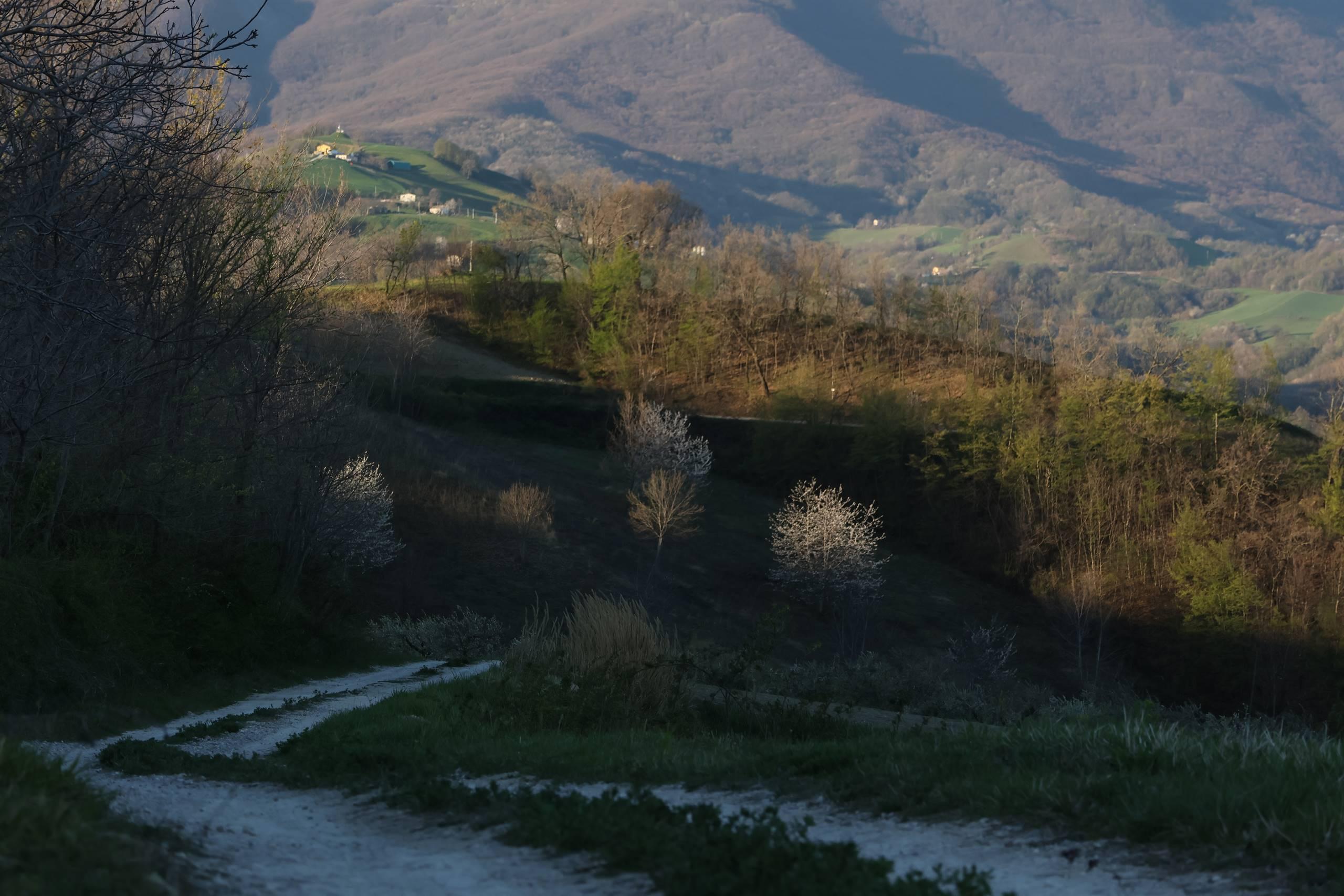
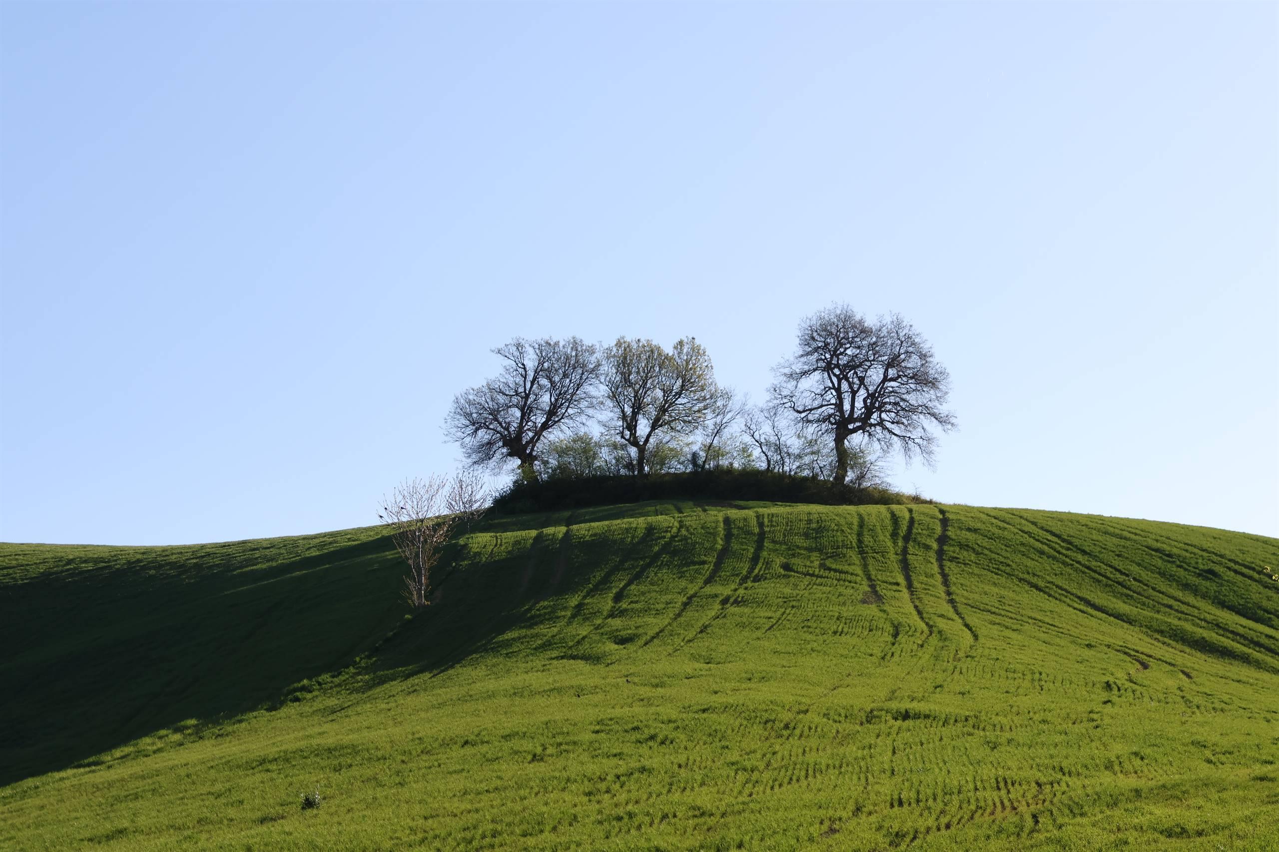
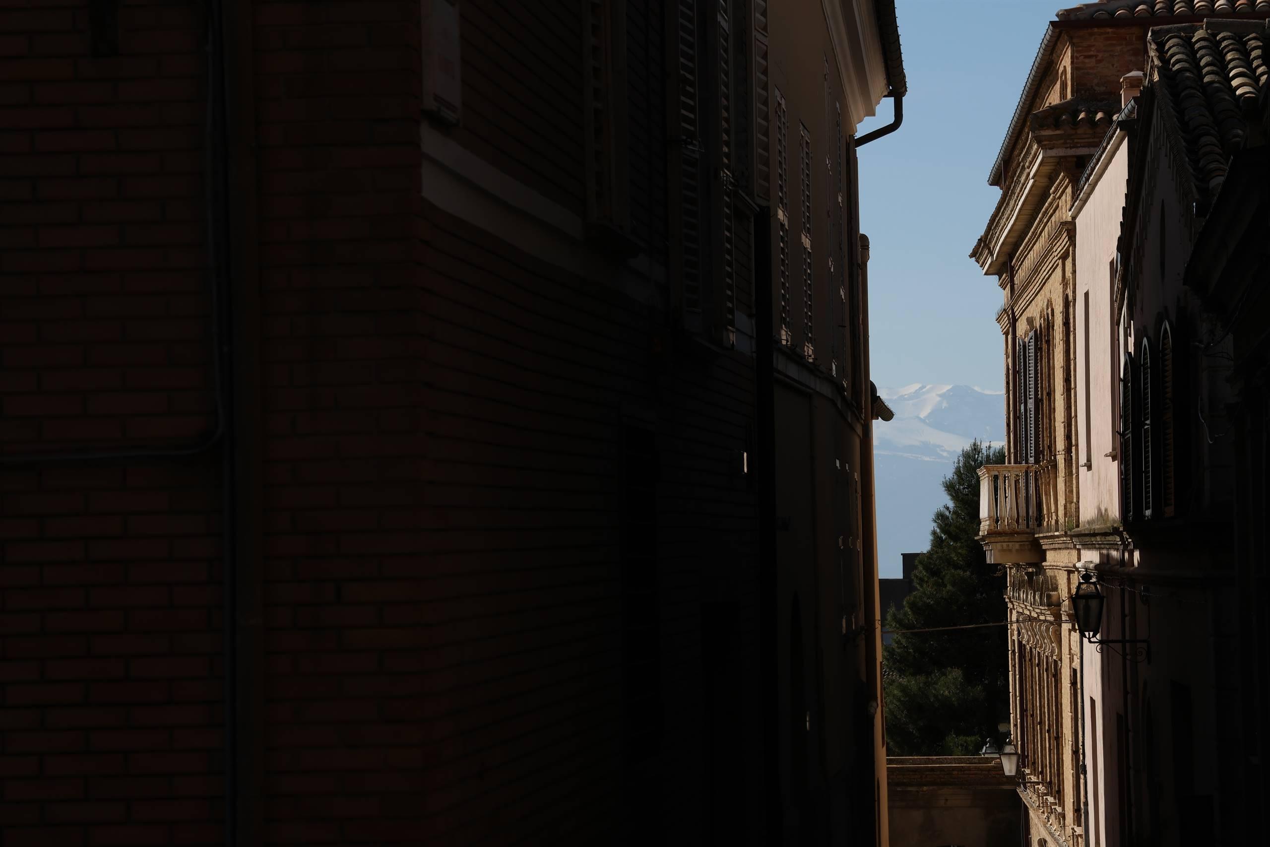
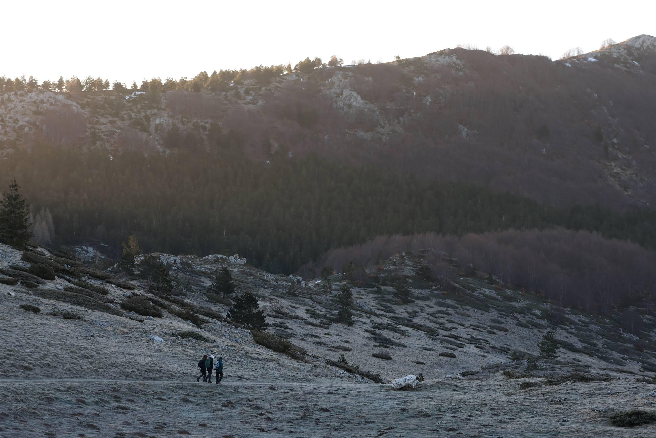
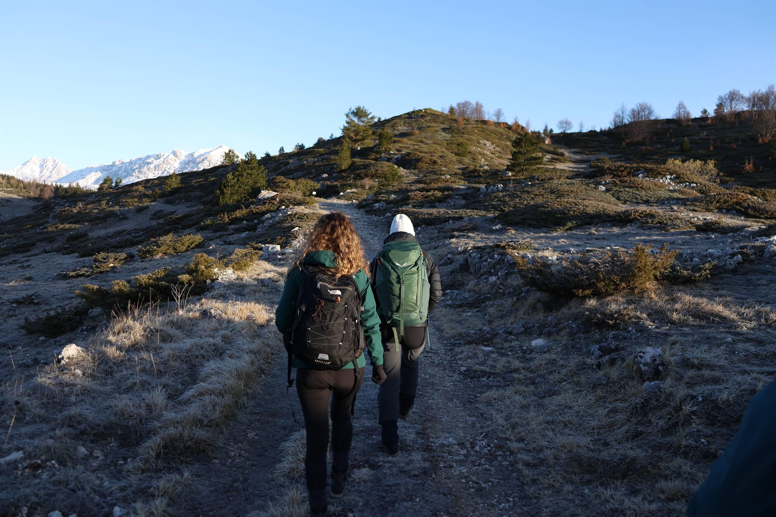
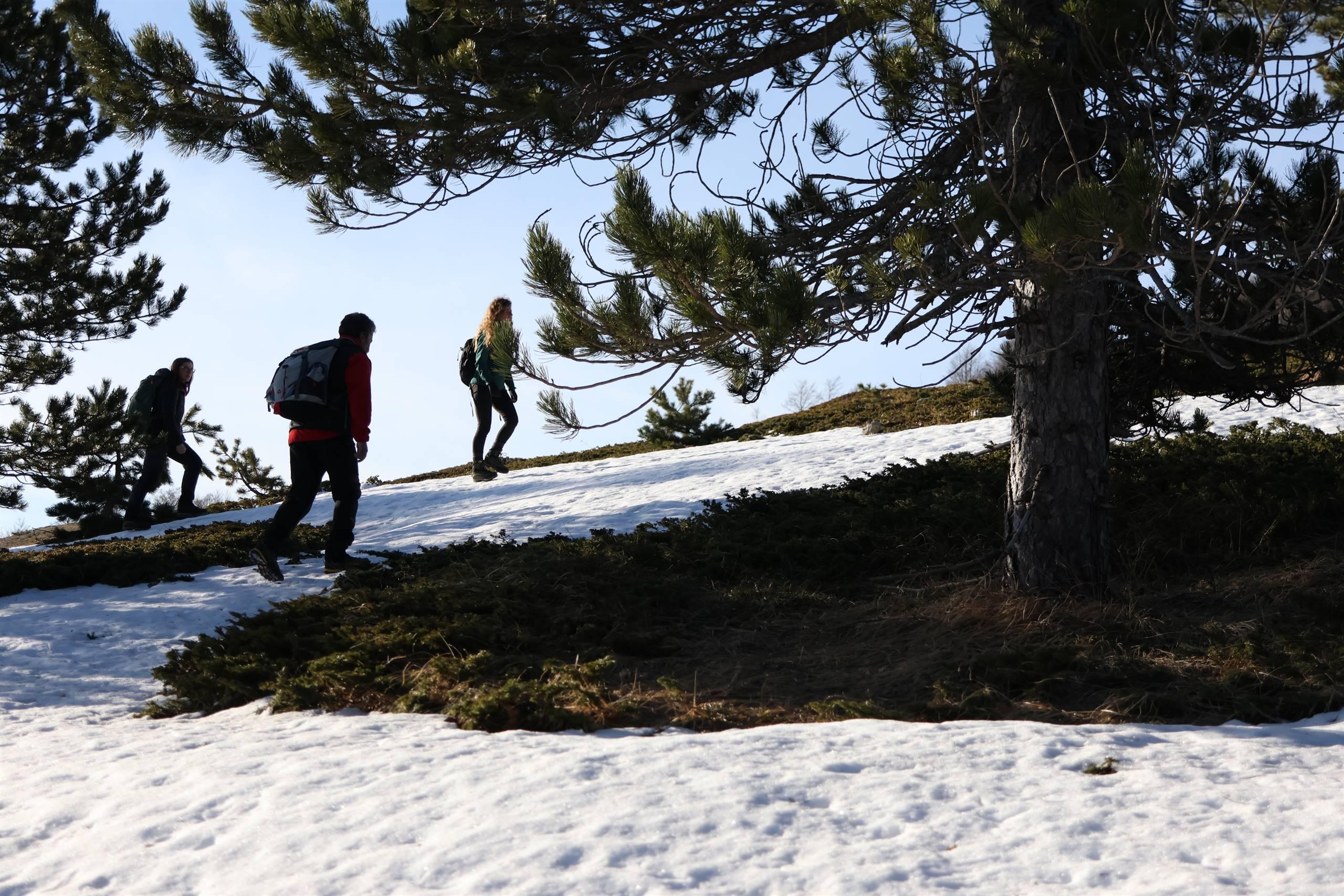
In this regard, the ""Via del Sale"" was a historical commercial route, it provided for the supply of the precious good from the places of production and/or storage, towards internal geographical areas, where to satisfy the demand in markets very distant from the areas coastal. It therefore consisted of a sea/mountain connection, between the coast and inland areas, between flat areas and steep terrain, from the salt marshes to the hills. Well, it would be more correct not to speak of "Via del Sale" but of "Vie del Sale", depending on the territories that the mineral, through merchants and wayfarers, crossed. As for the sheep tracks, the so-called "tratturelli", it is easy to think that the main "Via del Sale" was divided into a whole series of minor ways known by many or by a small group (and for the place of departure / return and for will or needs) that "deviated" from the main road. Abruzzo is predominantly mountainous (65%) and hilly (34%), the plain (1%) consists only of a narrow coastal strip along the coast. The region has the highest peaks of the peninsular Apennines and the peoples who inhabited the mountainous interior of the region necessarily had to make long and arduous paths for the provisioning of the mineral. WHITE GOLD, SALTSalting is a food preservation method. Salt is a hygroscopic compound, it eliminates water from food and inhibits the vital functions of bacteria. Being the degeneration of food (and the consequent non-storability) caused by bacterial growth, eliminating its proliferation, the food will be preserved. Furthermore, salt is a fundamental element for tanning leather. Salting consists in saturating the skin with common salt of marine or mineral origin. The salt penetrates the skin very quickly and produces a partial elimination of water and therefore the putrefactive processes remain inhibited. In ancient Rome, part of the salary of military and civil employees consisted of a ration of salt, from which the word "salary" continues to be part of our daily etymology even today. The discovery of the ability to preserve food through the use of salting probably triggered the transmigration of peoples from their places of origin to other shores. This therefore guaranteed the possibility of making mass movements or the opportunity to move individually or in groups towards unknown or pre-established destinations, guaranteeing the survival of the travellers. It also favored the possibility of settling in geographical areas in which food preservation was a fundamental necessity. THE TERRITORY OF THE "SALT ROAD"The Italic peoples who formerly inhabited the Abruzzo region were the Piceni, the Pretuzi, the Vestini, the Equi, the Frentani, the Marrucini, the Marsi, the Peligni and the Samnites. They were subsequently subdued by the greatness of Rome. The route of the "Via del Sale" takes into consideration the territories inhabited by the Piceni (in the territory between the Foglia and Aterno rivers, from today's Marche and the northernmost part of Abruzzo), Pretuzi (in the territory between the Salinello and Vomano rivers ), the Vestini (trans-mountain and cis-mountain, in the territory between the Aterno valley - L'Aquila, up to the Adriatic Sea near the mouth of the Saline river, at the height of Città Sant'Angelo) and of the ager Hatrianus (between the Vomano and Fino rivers), corresponding today to the geographical area between the Adriatic coast located in the municipality of Pineto (TE) and the historic city of Atri (TE) to reach Bisenti (TE) and through the capital of the vestini Penne (PE) first and Farindola (PE) then, up to the plain of Fonte Vetica-Castel del Monte (AQ). Historical evidence: Nicola Corcia: “12 miles from Pinna the Theodosian Table marks a mansion, or a pago on the Via Salaria, with the name of Salinas, or ad Salinas, which took its name from a salt factory established there, and which corresponds by distance to the place now called Le saline, or Porto di Salino, in the territory of Città Sant'Angelo, near the sea between the Piomba and Salino rivers. There [...] it is to be believed that they were the Saline, famous in antiquity that gave their name to the Via Consolare Salaria, for which the Sabines and neighboring peoples transported the salt for their use from the sea. The name of Colle di Sale, which remained on the hill near the said city, and the ancient remains that can be read there, also lead us to believe that there had been a building for the use of the said salt pans. (History of the two Sicilies, from the remotest antiquity to 1789) Domenico Romanelli affirms “[…] Both the river described here (the Saline), and the place, or the mansion in the via ad Salinas, were so called of the salt manufacturing established here. We can believe from the wide plains between Civita Sant'angelo and Montesilvano, in which the waters of the Salino slowly meander, the factory was established, much praised by the ancients on the sea shore." (Ancient historical topography of the kingdom of Naples, Volume 3) THE ROUTE OF THE "SALT ROUTE"The "via ad salinas", is an ancestral road, its origins are lost in the mists of time, Sorricchio says it was built by the Sabines / Piceni, it is even referred to by Castelli as pre-existing the Sabines. For others it is traced back to the Pelasgian immigrations, which were later than those of the Liburnians and the Sicilians. The salaria road, which from Antrodoco forked for Ascoli Piceno and the Vomano valley, with a branch called Via cecilia or raussa, went up the ridge that leads from Basciano to Atri, passing through Monte Giove, Collemarmoreum (Bisenti), Barbujanum (valviano-Cellino). This road rejoined the Salaria proper in Atri, and reached the Saline touching the ancient port of Atri, the "cerranus matrinus". Another arm through today's Castilenti, reached the capital of the Vestini, Penne. In his important work on the roads of the Roman Empire, Bergier asserts that other minor roads branched off from the salaria, which were called "carsus publici". Even these traverses, says Delfico, "gave not only an easy transit to the Roman militias but opened a trade, by land and by sea to the Sabine, Petruzian, Piceni, Atriani, Vestini peoples, to the neighboring mountain populations". The main communication routes of these centers and these peoples, necessary to keep the religious, social and commercial ties firm, did not concern the Salaria proper but rather a more direct and shorter route than through "Vado di Siella", Roccafinadamo and Penne, it crossed the Apennines to reach the sanctuary of Monte Giove and from here passing through Atri up to the salt pans located along the coast. Stone mounds and archaeological finds in the mountain resort of Figliolarsita demonstrate that this is a very ancient itinerary. It is Barnabei's belief that this route was beaten in ancient times and was the most direct way to go to Rome, before and after the better practicability of the Salaria proper. This road was not supposed to cross large streams and develop between overhanging gorges. THE “VIA AD SALINAS” - CHARACTERISTICS OF THE TRACKThe proposed route is integrated and modular, allowing the user a global approach in its entirety and at the same time it can be used in a scalar way, through intermediate stages "visited" individually. It can be traveled in both directions, i.e. starting from the tower of Cerrano, in the municipality of Pineto (TE), through the localities of Atri (TE), Valviano (Cellino-Bisenti-TE), Monte Giove (Cermignano -TE), Bisenti (TE), Roccafinadamo (PE), Penne (PE), Farindola (PE), up to the plain of Campo Imperatore – Fonte Vetica (AQ) and vice versa. Toponymy is fundamental in archaeology, and along the way it is easy to come across localities that evoke or refer to the noun "salt", such as the Saline river (born from the junction of the Fino and Tavo rivers), or the localities "colle del sale ” at Atri and “Scaricasale” at Bisenti or Arsita and Farindola. The street is dotted with areas of archaeological interest, discoveries are distributed and documented for its entirety (jewellery, brooches, tear vessels, tombs, stems and necropolis). Along the "Via del Sale" there were the so-called "mansioni". They were found at the end of each stage, which usually did not exceed ten hours of walking, for sheltering animals and passengers and changing horses (mutationes) for the service of couriers and merchants, but also for the purpose of protecting the territory . Many of these settlements underwent changes over time, some were abandoned, others first became castles and then towns or cities. Some of these such as Atri, Bisenti, Farindola and Penne are still vital centers, of the others such as Arseta (Roccafinadamo) Balbujanum (Valviano-Cellino vecchia) archaeological traces of the ancient settlements remain. A key feature is the seasonal adjustment of the "Via del Sale", it can be traveled 365 days a year. regardless of the periods into which the calendar year is divided. Geomorphologically it has few plains; the territory is mostly hilly. It is located in the north-eastern part of Abruzzo, in the narrow strip of hilly land between the Apennines dominated by Monte Siella (2 m asl), the minor peak of the eastern group of Gran Sasso and the Adriatic coast itself. THE "VIA AD SALINAS" - THE LANDSCAPE The landscape of the Apennines consists almost entirely of rocks of a sedimentary nature. In the rocky masses of calcareous nature karst has an easy grip. Among woods and beech trees, it slopes down to the sea through a hilly region carved by the transversal valleys of the Adriatic tributaries. In the hills, clayey and sandstone soils prevail, easily affected by water and equally easily subject to landslides. They have rounded, relaxed shapes, in stark contrast to the roughness of the Apennine reliefs, although the slopes are affected by the dense incisions of the gullies. The watercourses present in the route are the Fino river and the Tavo river from the south, and the Piomba river from the north. The Fino that originates in the San Leonardo Cave under Monte Tremoggia at an altitude of 1,050 meters, has a length of approximately 49 kilometers. The Tavo was born on the Gran Sasso, in Pietrattina, at 1,560 m a.s.l., near Mount Guardiola (1,828 m), on the eastern edge of the Campo Imperatore plateau; it flows in a W-E, SW-NE direction perpendicular to the coast and has a torrential regime. The Saline river is born from the confluence of the Fino and the Tavo and flows into the Adriatic in the locality of "Saline", on the border between Marina di Città Sant'Angelo and Montesilvano. The toponym derives from the ancient Roman name Salinum Flumen due to the existence of important salt pans near the mouth, the area between the mouth of the Saline and that of the Piomba torrent was the Roman pagus Ad Salinas located approximately at the same distance between Pinna and Ostia Aterni . The Piomba is a river in Abruzzo. In Roman times it was called Comarna, and in its mouth, as well as in those of Cerrano (Matrinus), and Vomano (Vomanum), there was an important port of the city of Hatria (Atri), which at that time controlled the Adriatic Sea from Ancona in Pescara. It springs from cold saline springs on the northern and southern slopes of Mount Giove at 723 m a.s.l. in the territory of the municipalities of Cermignano, and Bisenti where it also originates from Colle Marmo 704 m a.s.l. The aligned chain of the Apennines, which makes communications between the western side of Abruzzo and the eastern side of the Adriatic difficult, is overcome via the "Vado di Siella" pass (1725 m) to reach the plain of Campo Imperatore, originally glacial and karst-alluvial.


|
|